
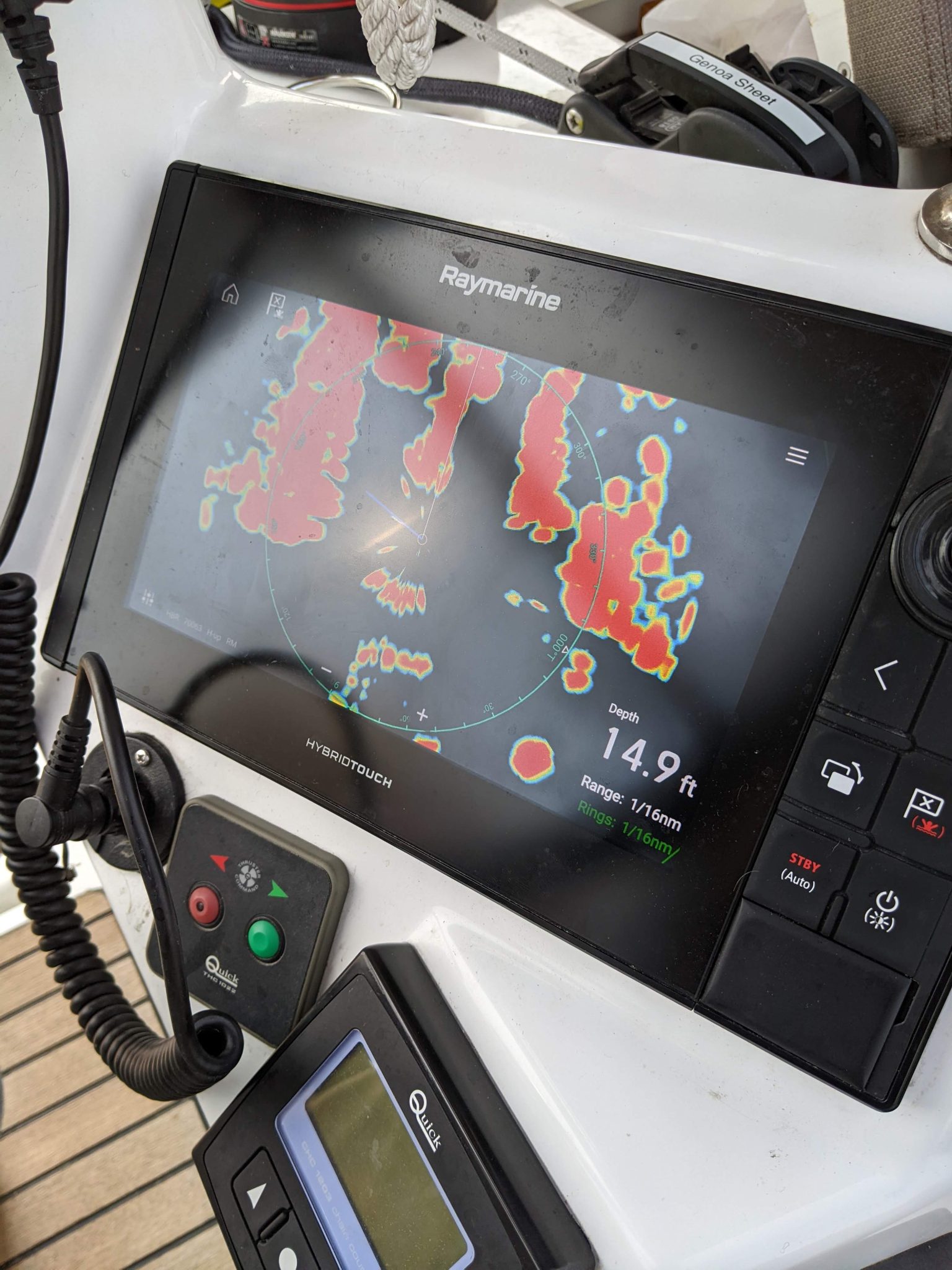
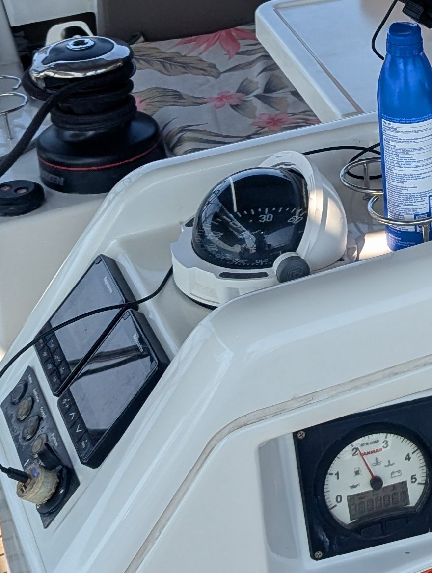
Tablet with Navionics software (electronic navigation charts of marine areas providing sailors around the world with detailed cartography).
Sextant (instrument for determining the angle between the horizon and a celestial body such as the Sun, the Moon, or a star, used in celestial navigation to determine latitude and longitude).
Iridium Go (a small but powerful satellite communication device allowing multiple users to connect and use voice, text messaging, map and weather data as well as SOS and GPS navigation).
Weather Router (we are using Predict Wind that allows us to use different weather models).
Leave a Reply